Lidar

Lidar, or Light Detection and Ranging surveying, is a measuring system that uses light. It is widely used in archaeology, forestry, geography, geology, seismology, remote sensing and contour mapping and is spreading to many more geomatics applications. The market for laser scanning is growing strongly as more efficient and cost-effective ways of processing Lidar data create new possibilities in a range of different fields, including construction and engineering, industrial facilities, topographical applications and cultural heritage. GIM International is closely monitoring these developments and will continually keep you updated on the innovations in this ever-changing market through this dedicated Lidar page. Whether you are interested in latest articles and news on Lidar in general or in specific topics like Lidar Survey and Mobile Lidar, you will find it here!

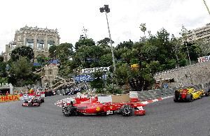
Formula 1 and Geomatics
Lidar

Formula 1 and Geomatics

在5月,狭窄,蜿蜒,肿块y streets of the city centre of Monte Carlo in the Principality of Monaco turn into a 3.34-kilometre racing circuit for the annual Formula 1 competi...

Read more
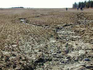
Lidar: Quality Assurance and Control
Lidar

Lidar: Quality Assurance and Control

Lidar systems have been widely adopted for the acquisition of dense and accurate topographic data over extensive areas. Collected topographic data can satisfy the needs of several applications, such ...

Read more
Airborne Lidar Scanners
Lidar

Airborne Lidar Scanners

The first commercial airborne Lidar systems appeared on the market in the mid-1990s. This active remote-sensing technology rapidly evolved to become the laser scanners which can today emit 400,000 pul...

Read more
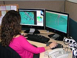
Creating Digital Surface Models
Lidar

Creating Digital Surface Models

Presented here is a novel photogrammetric suite, based on computer vision algorithms, that enables non-professionals working in engineering, agriculture, forestry, the military and government to produ...

Read more
10th International Lidar Mapping Forum
Lidar

10th International Lidar Mapping Forum

The tenth anniversary International Lidar Mapping Forum (ILMF) took place in Denver, Colorado, USA from 3rd to 5th March 2010, attracting 642 registered professionals from all over the world and provi...

Read more
YobiLiDAR
Lidar

YobiLiDAR

To exploit the full potential of Lidar data, three-dimensional (3D) spatial indexing capabilities are required in vendor systems. Multiple software packages are currently needed, which entails importi...

Read more
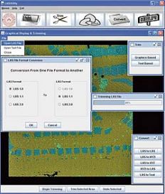
LAS and LASUtility
Lidar

LAS and LASUtility

Light Detection and Ranging, or Lidar technology has become an industry-standard high-speed tool for collecting dense and accurate topographic data. However, proprietary or ASCII file formats for stor...

Read more
Photo-realistic 3D Rendering
Lidar

Photo-realistic 3D Rendering

Nowadays, every child with a home PC has the technology, but in 1993 photo-realistic real-time rendering of geo-specific images was available only to supercomputer users. That same year, Tiltan System...

Read more
Multiple-pulses in Air
Lidar

Multiple-pulses in Air

Early in 1997 I did research on gaining insight into the error sources of airborne Lidar. As you may have read in the editorial in this issue of GIM International, 1997 was the year that a highly det...

Read more
Baidu