Skytec Joins Esri Startup Program
Skytec LLC, a leading Unmanned Aircraft Systems (UAS) and Drone as a Service (DaaS) provider, has been selected to join the Esri Startup program as an emerging business partner. The three-year program...
Indoor mapping is a novel concept that uses a digital 2D or 3D map to represent an indoor venue and spatial information. Indoor positioning and navigation are made possible by presenting places, people, and assets on a digital map. As a result, many various use cases are possible, allowing businesses to improve their workflows and efficiency.

Skytec LLC, a leading Unmanned Aircraft Systems (UAS) and Drone as a Service (DaaS) provider, has been selected to join the Esri Startup program as an emerging business partner. The three-year program...

DT Research, the leading designer and manufacturer of purpose-built computing solutions for vertical markets, has announced the DT301T Rugged RTK Tablet (DT301T-RTK), a lightweight military-grade tabl...

GAF最近完成了ESA-funded project to support the African Mineral Geoscience Initiative (AMGI). The World Bank-initiated AMGI project is a pan-African initiative for the collection, cons...

Kaarta has made another leap forward in the advance of rapid 3D reality capture with the launch of Kaarta Reality Layer. This augments its already geometrically accurate and robust spatial capture wit...

As the world soberly reflects on the death of the last male northern white rhinoceros, astrophysicists and ecologists at Liverpool John Moores University (LJMU) have collaborated on a new project tha...

Airbus has entered into an agreement with Twenty First Century Aerospace Technology Co. Ltd (21AT), a Chinese commercial satellite operator, for the distribution of the images acquired by its Tripl...

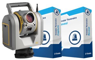
Trimble has announced the Forensics SX10 Solution, a hardware and software data collection and processing system for collision and crime scene reconstruction. The solution includes the Trimble SX10 sc...

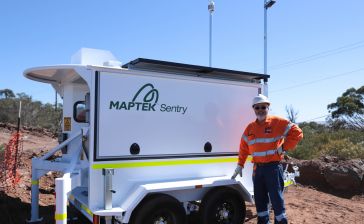
Maptek has announced it will be displaying its latest mobile monitoring system at Slope Stability 2018. “At its heart, the conference is tackling an issue, slope stability, which has a real impact o...

Blue Marble Geographics has announced the availability of an update to the Global Mapper Academic Curriculum. Comprised of a series of hands-on lessons, the full package of lab materials is available ...

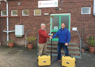
As members and supporters of The Survey Association (TSA), Topcon GB & Ireland has been working with The Survey School, the UK’s only commercial survey training centre, to ensure students are traine...
This site uses cookies. By continuing to use this website, you agree to ourCookies Policy.Agree