DroneDeploy释放无人机建设lution
DroneDeploy, a drone software company with the largest drone data platform in the world, has launched its construction solution to meet the industry’s growing demand for aerial site intelligence. It...
Indoor mapping is a novel concept that uses a digital 2D or 3D map to represent an indoor venue and spatial information. Indoor positioning and navigation are made possible by presenting places, people, and assets on a digital map. As a result, many various use cases are possible, allowing businesses to improve their workflows and efficiency.

DroneDeploy, a drone software company with the largest drone data platform in the world, has launched its construction solution to meet the industry’s growing demand for aerial site intelligence. It...

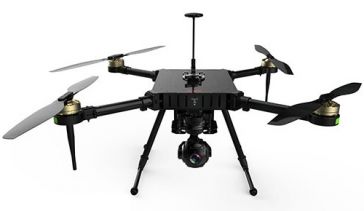
AEE Aviation Technology, a global leader in electric aviation and camera technology, has announced the introduction of the Mach 4, a multiple payload capable commercial UAV built to provide a best-in-...

Many Earth observation satellites make use of an added ingredient to ensure reliable, good-quality environmental data: the Moon. While the surface of the Earth is ever changing, the face of the Moon h...

Esri Ireland, the market leader in geographic information services, has announced that it has invested €1.6 million to expand its operations and cater to increasing customer demand. This investment ...

Bentley Systems, a global provider of comprehensive software solutions for advancing infrastructure, has announced the acquisition of Plaxis, a provider of geotechnical software, based in Delft, The N...

Bentley Systems, a leading global provider of comprehensive software solutions for advancing infrastructure, has announced the acquisition of Plaxis, the leading provider of geotechnical software, bas...

The UK is considering plans to launch a satellite-navigation (satnav) system as a rival to the EU's Galileo project. The move comes after the UK was told it would be shut out of key elements of the pr...

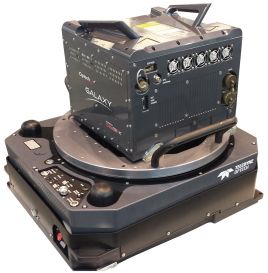
Teledyne Optech has announced Asia Air Survey Co. (AAS), Tokyo, Japan, has taken delivery of an ALTM Galaxy T1000 for use in their forest resource management initiatives, road and railway facility man...

NavVis, a global leader in mobile indoor mapping, visualisation, and navigation, has announced a new add-in for Autodesk Revit. The add-in lets Revit users connect their BIM models to 360 degree immer...

Ordnance Survey (OS), the first national mapping agency in the world to digitise its geospatial database, is developing the first geospatial data model for Malta. The project, known as MaltaMap, is pa...
This site uses cookies. By continuing to use this website, you agree to ourCookies Policy.Agree