5 Ways the World Depends on Geomatics
Where would we be without geomatics nowadays? There are so many ways in which modern life relies heavily on mapping and surveying professionals that it’s hard to imagine a world without geospatial t...
Indoor mapping is a novel concept that uses a digital 2D or 3D map to represent an indoor venue and spatial information. Indoor positioning and navigation are made possible by presenting places, people, and assets on a digital map. As a result, many various use cases are possible, allowing businesses to improve their workflows and efficiency.
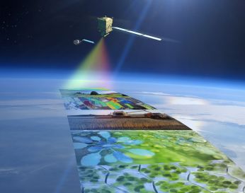
Where would we be without geomatics nowadays? There are so many ways in which modern life relies heavily on mapping and surveying professionals that it’s hard to imagine a world without geospatial t...

A unified worldwide mapping system will guide self-driving cars safely and efficiently. That is the goal of HERE Technologies and its regional mapping partners NavInfo of China, Increment P (IPC)/Pion...

According to various media reports, the European Commission’s intention to exclude the UK from the Galileo satellite navigation system following Brexit is causing divisions between member states. Br...
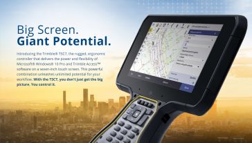
Trimble has released the Trimble TSC7 controller, a new field solution for land and civil construction surveyors. The TSC7 brings powerful enhancements to the field and was designed based on customer...
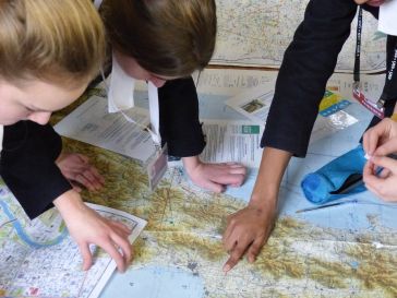
Restless Earth is a two-and-a-half-hour disaster relief mapping workshop organised by the British Cartographic Society. The workshops are for Year 9 & 10 pupils studying GCSE-level geography. They ar...
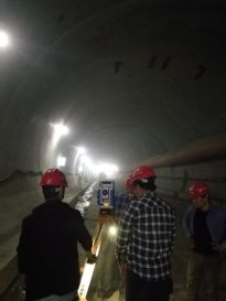
Spectra Precision FOCUS 35 robotic total stations are hard at work helping to build the world’s largest expressway network in China. In one notable example, the FOCUS 35, with its time-saving autom...

Sokkia has introduced the latest addition to its iM line of manual total stations designed to be cost effective, but still provide powerful performance, the iM-50. “Whether operators need an instrum...

On Saturday 19 May, Prince Harry and Meghan Markle were married at St George's Chapel in the grounds of Windsor Castle. The event was captured from above by the WorldView-2 mission satellite from the...

Esri has announced the release of a new tool available in beta on the ArcGIS for Developers website, the ArcGIS Vector Tile Style Editor. Whether you are a developer, designer, or a GIS profession...
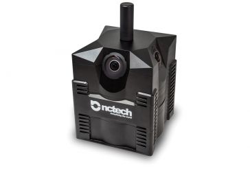
NCTech, a developer of reality imaging systems, has announced the availability of iSTAR Pulsar, a professional edge-to-cloud big data system, optimised for capture on the move. iSTAR Pulsar is designe...
This site uses cookies. By continuing to use this website, you agree to ourCookies Policy.Agree