复古周四Geoprofessionals
It is important that mapping and surveying professionals move with the times, but sometimes it is also good to look back and see how things were several years ago. And what better day to do that than....
Indoor mapping is a novel concept that uses a digital 2D or 3D map to represent an indoor venue and spatial information. Indoor positioning and navigation are made possible by presenting places, people, and assets on a digital map. As a result, many various use cases are possible, allowing businesses to improve their workflows and efficiency.

It is important that mapping and surveying professionals move with the times, but sometimes it is also good to look back and see how things were several years ago. And what better day to do that than....

Education is a key pillar of the mapping and surveying profession. At ‘GIM International’ we do our very best to keep you informed with the latest knowledge, tailored to the demands of the geospat...

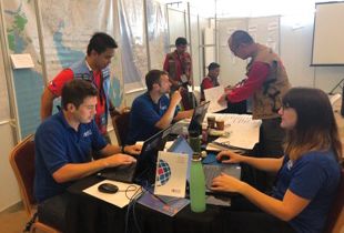
The ASEAN Coordinating Centre for Humanitarian Assistance on disaster management (AHA Centre), set up to facilitate cooperation and coordination of disaster management, has entered into a formal partn...

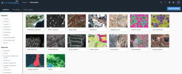
Most image analysis tasks that required ENVI or Erdas Imagine software are now available online thanks to EOS Platform, a new cloud service launched by Earth Observing System (EOS). It provides GIS pr...

On Friday 22 June, some 150 people – including many current geomatics students – gathered at the Science Centre of the Delft University of Technology (TU Delft) for Geomatics Day, chaired by Mathi...

Airbus has announced a data-sharing agreement with satellite imagery purveyors Planet, along with a project to deliver a geoinformation platform and pipeline for the Thai government. The depth and bre...

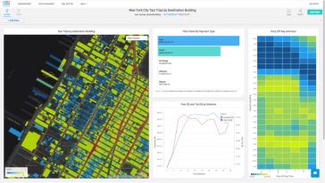
MapD Technologies, the analytics platform provider, has announced the launch of MapD 4.0, a major leap forward in large-scale, interactive geospatial analytics. With native support for geospatial data...

Esri, the global leader in spatial analytics, has published GIS for Surface Water: Using the National Hydrography Dataset, the only book of its kind detailing how to use geographic information system ...

The European Commission has launched a new Open Call for the Copernicus Accelerator. The goal of the Copernicus Accelerator is to provide tailored business development support to start-ups, SMEs, rese...

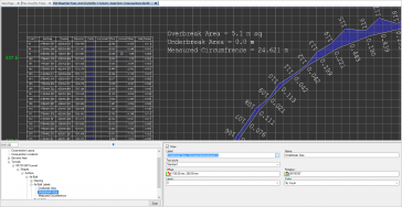
Trimble has launched a suite of solutions enhancing productivity and efficiency for surveyors and professionals working on underground tunnelling projects. The solutions include new hardware and softw...
This site uses cookies. By continuing to use this website, you agree to ourCookies Policy.Agree