Surveying a Complete Island in the Maldives
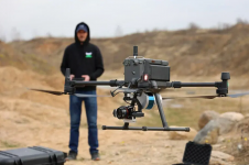
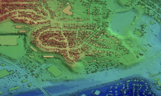
In December 2016, Aeromao – in collaboration with Foresight Surveyors – completed a full photogrammetric survey mission with an Aeromapper Talon over one of the most unique and exotic islands in the Maldives. In total, the mission surveyed an area of approximately 1 square kilometre at a ground sample distance (GSD) of 2cm/pixel.
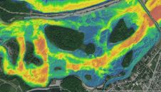
The unmanned aerial vehicle (UAV) flew at a cruise altitude of 100m AGL and collected 1,422 photos with an amazing level of detail. A digital surface model (DSM), orthophoto and point cloud were generated usingPix4DMapper. Despite the 2-hour flight-endurance capability of the Aeromapper Talon, the mission was successfully completed in just 45 minutes. The UAV flew at a maximum distance from the ground control of 2km.
The UAV flew flawlessly and was launched and recovered via parachute from a nearby island approximately 1km away, due to the limited space available for takeoff and landing on the target island. The Aeromapper Talon was not equipped with PPK GNSS system, so 5 GCS points were taken on the island which resulted in a horizontal accuracy of 4.8cm
According toAeromao, the mission resulted so successful that the crew had plenty of time to go snorkelling around the island while the computers processed all the data.
TheAeromapper Talonutilised is owned byForesight Surveyors购买2014年投入使用。升级和服务was performed to get the UAV up to date prior to the flights over the island.
The results
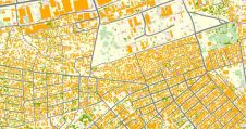
The purpose of the survey was to generate an orthophoto to trace the as-built for future developments taking place in the island. Thanks for the data acquired, the client received an up-to-date high-resolution property map which was easier to be used by the project department and decision-makers. As well, the orthophoto was useful for their environmental monitoring purposes and biodiversity mapping.
Make your inbox more interesting.Add some geo.
Keep abreast of news, developments and technological advancement in the geomatics industry.
Sign up for free


