卡塔尔完成航空摄影调查以更新数字地图
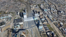
用于升级卡塔尔数字地图的航空调查系统已开始运营。在卡塔尔的航空调查项目下,航空摄影的使命涵盖了该国所有地区和哈卢尔岛(Halul Island)拍摄20厘米精确的评估航空照片的任务,作为更新该国数字线性地图的基础。
The photography work took place from 30 March to 20 April 2022. The project is being implemented by the Geographical Survey System (GIS) Center of the Ministry of Municipality.
It is planned to provide all state institutions with aerial photographs and updated digital maps during July 2022, to be used within the activities and projects of the FIFA World Cup Qatar 2022 events. They could be used later in all other projects of the state in various fields such as planning, education, health, Ministry of Interior services, supporting decision-making and infrastructure development of the country, among others.
Integration with Other Geospatial Data Sources
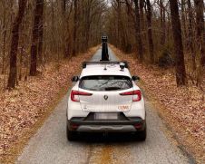
GIS中心使用载人飞机的空中调查和遥感旨在与该中心目前正在使用的其他数据源进行集成,例如卫星图像,移动现场调查和无人机。
该项目正在通过哈蒂布和阿拉米after a tender was awarded by the Ministry’s Grand Tenders Committee to supply the project’s equipment and devices, including manned aircraft, modern drones, cameras, remote sensing and specialized computers.
这项工作被认为是卡塔尔航空调查系统运营的开始,这是由市政部最近收到的,由该部代表GISCenter, as the national entity responsible for all works of updating the digital maps of Qatar and managing the country’s aerial survey system.
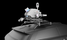
该系统由专门用于航空摄影和遥感的双引擎载人飞机以及将安装在飞机上进行航空调查的所有设备,例如摄像机,遥控传感器和计算机进行航空调查,此外为上述设备和其余技术干部提供合格的运营商,专门从事该领域的专门运营商。

Oblique Aerial Images and 3D Models
The centre’s role is to provide basic geographical maps and digital topographic databases, establish and maintain geodetic networks and related services, and as part of the plan to develop national standards and specifications related to geographic information systems at the state level through the centre’s cadres without the assistance of companies from outside.
Carrying out aerial surveys and remote sensing using manned aircraft comes in integration with other data sources currently used, such as satellite images, mobile field surveys and drones.
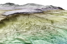
这重要的发展包括的产品the processing and taking accurate aerial images, oblique aerial images, linear data, 3D model data, digital elevation model (DEM), remote sensing, Lidar data, bathymetric survey data for bathymetry, marine survey and hyperspectral imaging.
Source: The Peninsula (thepeninsulaqatar.com)
使您的收件箱更有趣。Add some geo.
Keep abreast of news, developments and technological advancement in the geomatics industry.
免费注册

