Paracosm Partners up with Geo-Plus to Expand Land Survey Offering
This article was originally published inGeomatics World.
Paracosm has announced a partnership with Geo-Plus to offer the VisionLiDAR point cloud processing software in a bundle with the PX-80 handheld scanner. Joining forces means both companies now offer an end-to-end 3D mapping workflow for a variety of applications.
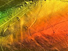
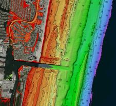
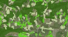
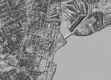
“We are delighted to offer this software to ourPX-80customers” says Amir Rubin, Paracosm president. “The versatileVisionLiDARworks as a standard point cloud processing tool – a critical need in many workflows – but also includes comprehensive functionality for specific applications like topography generation, city assets extraction, and tree extraction. It allows us to offer a truly complete 3D mapping solution to meet the needs of demanding users in surveying and other industries.”
“Paracosm’s robust handheld mapping technology is an ideal complement to our software,” says Wilfrid Beaupre, CEO of Geo-Plus. “Bundled together, they provide users with a variety of powerful, cutting-edge workflows – helping them to generate quality 3D deliverables in almost any environment.”
To kick off this new partnership, Paracosm and Geo-Plus will host an informationalwebinaron 12 March at 3PM EST. Called “How the Paracosm and Geo-Plus Partnership Streamlines Your 3D Land Survey Workflows,” this webinar will demonstrate a variety of general and industry-specific workflows, including the benefits of handheld Lidar for outdoor capture, point-cloud processing, volume analysis for material stockpiles and gathering tree DBH measurements for forest inventory.
About Parascosm
Paracosm develops Lidar capture and visualization technologies for professional 3D mapping applications. The most demanding users in AEC, facilities management, forestry, visual effects, and more are using the PX-80 handheld Lidar scanner to capture high resolution, colourized point clouds in virtually any indoor or outdoor space – and develop new workflows to transform their businesses.
Make your inbox more interesting.Add some geo.
Keep abreast of news, developments and technological advancement in the geomatics industry.
Sign up for free

