New Partnership Synchronizes UAV Technologies for Lidar Data Collection and Processing
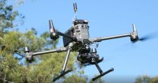
SPH Engineering and GreenValley International are combining their expertise to deliver drone software technologies for Lidar data collection and processing. The companies align UgCS mission planning software and Lidar360 data processing software to optimize the workflow with Lidar data collected with au unmanned aerial vehicle (UAV or 'drone').
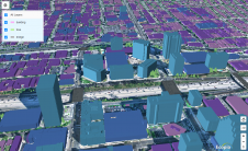
The partnership is ready to provide a full end-to-end software toolchain for airborne Lidar applications. It includes flight planning and data collection (done using UgCS) and data processing (using Lidar360), which are necessary for delivering meaningful results such as elevation models, terrain mapping and modelling, forestry scanning, and power line inspection.
Adjustable Corner Radius and Calibration Segments
“Manual drone flight planning does not guarantee a stable flight. Moreover, during large-scale projects, you cannot see the drone at all times. Automated mission planning using UgCS allows users to plan Lidar surveys with adjustable corner radius and calibration segments, overcoming these issues and guaranteeing the results to be more accurate,” states Alvin Qiu fromGreenValley International.
“我们决定先测试Lidar360 recommendation of one of our partners. We have evaluated multiple software packages for Lidar data processing and found that Lidar360 is the most universal and provides a good balance between user friendliness and professional results”, explains Alexey Dobrovolskiy, CTO at SPH Engineering.
To learn more about the aligned technology, join thewebinar.

Make your inbox more interesting.Add some geo.
Keep abreast of news, developments and technological advancement in the geomatics industry.
Sign up for free


