Brandenburg Forest Office Selects SuperSurv for Forest Conservation
Supergeo Technologies, a Taiwan-based GIS software and solution provider, has announced that the Forest Office of the German State of Brandenburg (Landesbetrieb Forest Brandenburg) has adopted the SuperSurv smart mobile GIS app to investigate its forest conservation project.
Located on the outskirts of Berlin, 37% of the land in Brandenburg is covered by forest, which contributes to approximately 10% of forest of the whole country. Being one of the most conserving targets in Germany, Brandenburg plays an important role in forest investigation and conservation.
To assist the investigation team in overcoming the inconveniences such as the weak signal and wide range of area, SuperSurv provides useful functions to collect forest data precisely and also to document the change of surface accurately. The captured information can be used to help monitor the consequences caused by land-use and natural disasters easily. Users can also overlay layers to compare with the old data, sorting out the comprehensive changes of the forest.
By using the smart GIS app for Android, the officers from Landesbetrieb Forest Brandenburg can survey and collect tree and plot data with ease. Also, total costs can be saved by using smart devices to lower the disturbance of heavy gadgets, and the paper-and-pen work can be replaced by digital survey, to lower the consumption of the environment.
For more information on the Supergeo GIS solutionssee here.
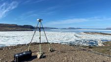
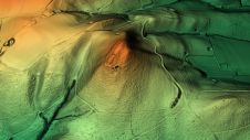
Image courtesy: Schutzgemeinschaft Deutscher Wald, Landesverband Brandenburg.
Make your inbox more interesting.Add some geo.
Keep abreast of news, developments and technological advancement in the geomatics industry.
Sign up for free