Tide-turning
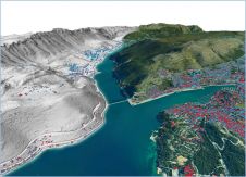
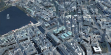
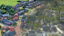
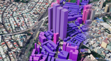
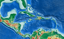
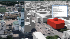
“在过去四十年绘图法,制图,has changed more than in four hundred years before that,” Professor of Cartography Ferjan Ormeling told the Faculty of Geosciences at the University of Utrecht in his valedictory address last April. Professor Ormeling worked at the university for almost forty years, during which time he watched not only the field of cartography change, but even the meaning of the term itself: from producing maps to their production and use. The biggest impetus behind such change had of course been computerisation. Maps were no longer static, but thanks to digital storage of data had become easily adjusted to different purposes. So that many and diverse maps could now be distilled from combinations of data. Geo-visualisation had become almost a new sub-field of cartography: using geodata to represent the real world in an attractive and helpful way, accessible to everybody, for instance via the web.
Computerisation has thus made cartography – that is the production of maps – easier and therefore more democratic. Special software makes it possible for someone who is not a trained cartographer to make a product that at least looks like a map. But besides all the advantages, this democratisation of mapmaking also possesses dangers.
Hobbyists or other non- or not-so-well-trained cartographers may produce maps that look fantastic yet give readers a completely wrong impression of reality.
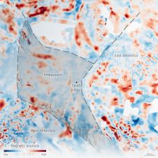
The second threat to the predictive power and quality of maps is a growing gap between theory and practice. Datasets of all kinds can be combined in overlays, but it is often difficult for cartographers to ascertain the accuracy of the created product. According to Ormeling, even when someone is confident of the accuracy of a specific dataset, he cannot always be sure of the effect on this of combining it with other data. In other words, the sum of several accurate datasets is not always a new dataset of the same accuracy. Ormeling advocates more research into the effect of such combinations. He advises ongoing research and training in the whole field of cartography to upkeep, boost and help prosper the fields of cartography and GIS.
An advocacy I can only support. Research and training, not only on the part of present-day scientists, but also by generations to come. For this we need new blood in universities and colleges all over the world; not enough new-entry students are choosing a career in geosciences or adjacent fields. Reed Business Geo, publisher of GIM International, feels it has a responsibility to help the sector increase its share of new students. We have thus initiated the project Young Geo Professional, a magazine and website to be launched this autumn. There are various ways in which companies and universities can support this initiative, which aims to benefit and help ensure the future of geomatics. Please visit www.younggeopro.com
We need to turn the tide. Now is the time.
Make your inbox more interesting.Add some geo.
Keep abreast of news, developments and technological advancement in the geomatics industry.
Sign up for free

