Integration
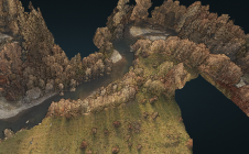
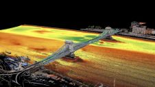
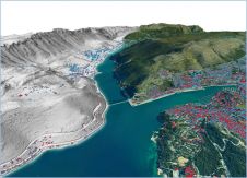
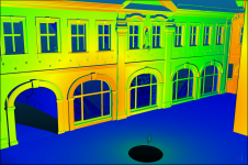
Integration continues on its role. New and recent techniques are becoming integrated with older techniques such as the total station. Integration has been going on for years, of course, but over the past few we have seen acceleration. Bluetooth, GIS, GPS, (and, for that matter, Glonass and Galileo): these have all been recently integrated into the total station. The best example of this ongoing development and integration is Trimble’s new VX Spatial Station. This contains a video camera and a laser beam. Not only are coordinates determined but also the shapes of measured buildings, infrastructure projects et cetera. The client will have no difficulties in understanding data as presented because the statistics are accompanied by point clouds and put together with data won by Lidar or derived from satellite imagery. The Spatial Station is thus able to add terrestrial to spatial data. The best of two worlds.
The rapidity of developments in the surveying world is even more spectacular when you look at the adjacent field of GIS. The business focus here at the moment is clearly on becoming an integral part of different areas such as agriculture, defence or mobility. Instead of developing new tools within GIS, the GIS industry is working hard to become a service industry. Smart, maybe, from a business point of view: in the short term, services are well paid for and easy to provide. On the other hand, maintaining large R&D divisions is very expensive; returns are uncertain and definitely do not provide easy and quick winnings. But in the long run It’s quite clear to me that both large and somewhat smaller manufacturers of survey equipment are doing the best thing in researching and developing all possible kinds of integration so as to anticipate or create new markets.
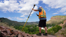
所有这些新技术的集成certainly has an impact on the profession of the traditional surveyor. He (or she) is entering a new era in which the core business of the surveyor will be managing data instead of just capturing it. That is very good news for a profession that the pessimists forecast would become extinct ten years from now. Far from it. Together with the manufacturers of the equipment they are working with every day, surveyors are facing new times: a nice challenge for the group of professionals that has always been and remains the backbone of the geo-spatial industry.
Make your inbox more interesting.Add some geo.
Keep abreast of news, developments and technological advancement in the geomatics industry.
Sign up for free


