GNSS和GEODESY的进步如何使地理工业受益?
A keynote address at the XXV FIG Congress (Kuala Lumpur, Malaysia, 16-21 June) by Chris Rizos, IAG president, on ‘Opportunities & Challenges for the Surveying Industry in a Multi-system GNSS World’, identified five mega-trends influenced by developments in geodesy: the decades-long revolution unleashed by GPS; the forthcoming era of multi-constellation GNSS; the evolution of precise positioning from niche to mass markets; the importance of global geodetic reference frames; and the acceptance that geodesy is indeed an Earth observation science.
Taking these as starting points enables articulation of a uniquely geodetic perspective on the challenges and opportunities for the geomatics discipline – with consequences for the future of geomatics education, innovation and product development, evolution of practices and service provision, and the promotion of geomatic skill sets.
成为GNSS专家
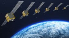
The GNSS future will be more complex than the relatively simple GPS world. The range of techniques is expanding, with Precise Point Positioning (PPP) services now offered on a commercial basis. Advances in PPP will challenge the current GNSS-RTK differential positioning paradigm. As the world transitions from GPS to multi-constellation GNSS, much of what we know about GPS procedures and capabilities must be relearned. Meanwhile, GNSS receiver technology will evolve in different ways. For example, there will also be low-cost, dual-frequency hardware based on interoperable GNSS signals – perhaps even smartphones with decimetre-accuracy PPP capabilities. Because precise positioning (PP) will no longer be the preserve of the geomatics-educated elite, the industry could differentiate itself by becoming the most-expert group of GNSS users.
准备解决新的精确定位申请
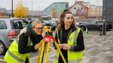
传统上,测量师使用GPS/GNS进行静态点协调。他们必须能够执行运动学PP任务,例如支持移动映射以及新的室内和室外PP应用程序。要掌握的技术包括惯性导航系统(INS),Wi-Fi,地面范围和基于视觉的系统。先进的智能运输系统(ITS)应用程序将需要为大众市场用户提供PP技术。地理行业应准备利用PP技术,方法和服务中的发展,以解决这种新(且具有挑战性的)无处不在,可靠和精确的定位应用程序。
Become mapping experts
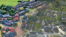
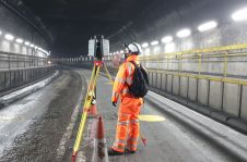
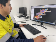
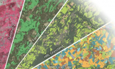
映射系统的范围和能力正在迅速发展。在地面,空中和卫星平台上部署的各种成像和扫描系统正在彻底改变移动映射。特别是基于消费产品的低成本系统,例如视频游戏控制器,智能手机,手持激光器,便携式雷达和爱好机器人系统,将为所有人带来映射功能。对地下公用事业映射的需求将增加。因此,地理工业需要掌握各种映射系统,并使用不同的图像源来解决地上和下地图应用程序。
成为协调和基准专家
测量师在协调操作方面具有独特的技能。在使用本地,国家和全球基准,涉及4D坐标的转型以及适当使用不同高度系统的转型方面的专业知识应得到培养。例如,地理专业人士应提倡采用基于ITRF的国家基准。他们必须对一个动态,变形的世界感到满意,并将自己重塑为管理高保真地理空间数据的“协调专家”。
The above-mentioned advances in geodesy and GNSS are likely to lead to many exciting opportunities for the geospatial disciplines in the near future.


