A Student's View on Intergeo
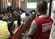
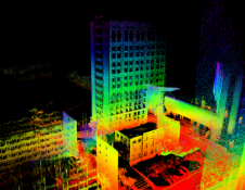
就像在2013年,我再次访问Intergeo this year – held from 7-9 October in Berlin, Germany – to guide my students around the exhibition halls. Having all gained a BSc in a geomatics-related field, these international students, 19 in total, started in September 2014 on the MSc in Geomatics for the Built Environment programme at the Faculty of Architecture, Delft University of Technology, The Netherlands. In this month’s column, instead of sharing my own impressions of the event, I would like to hand over the reins to one of my students so that you can enjoy their young and fresh views: “The Intergeo exhibition, which we visited as part of the course GEO1001 ‘Sensing Technologies for the Built Environment’, was a unique opportunity to learn more about state-of-the-art equipment and software – from data acquisition to applications. A great surprise was the size of the event. I didn’t realise that so many people are involved in geomatics. It’s very encouraging to know that the community is so big. On the first day our professor guided us along a variety of booths and showed us how to fearlessly shoot off questions and ask for demonstrations. This was a very good ice-breaker. On the second day he recommended a number of particularly interesting booths, which we visited on our own in small groups of four students. I liked the demonstrations by PCI Geomatics, Microsoft Ultracam and Terrasolid; they visualised and enlightened the theory and concepts we had been taught in the weeks before. PCI from Canada showed solutions to increase the quality of DEMs using Python tools and scripts. I knew Microsoft from their software but at Intergeo I learned that they are also involved in photogrammetry. Microsoft Ultracam provides integrated solutions including computing units, solid-state storage devices, flight management systems and the aerial camera itself of course, but you have to buy the aircraft yourself. The use of most software on display appeared complicated, but the software from Microsoft is very intuitive and almost aesthetic. One example of a company offering software for processing point clouds is Terrasolid. Their software can handle point clouds from any type of laser scanner or camera system on airborne or mobile platforms and the diverse point clouds can be processed in one integrated environment. Point clouds can depict highways, their surroundings and the road surface very accurately, but can also capture buildings and thus enable automated production of textured 3D building models using images captured simultaneously. Point clouds of wires, structures, vegetation and the ground along power-line corridors can be processed into vector models for monitoring purposes. The point clouds generated by laser scanners are so amazingly accurate that they can be used for many tasks. The RIEGL Lidar systems can be put under UAVs for capturing small areas, under helicopters for scanning power lines and other corridors, and on cars and trains for scanning roads and railways to detect damage and repair needs. UAVs were omnipresent and applied for uses varying from land administration to point cloud generation from imagery, laser scanners or a combination of both. I personally have an interest in consultancy and that is the core business of COWI from Denmark. The firm operates worldwide and exploits a variety of geomatics devices, software and methods to serve governmental agencies and other clients with Lidar point clouds, orthoimagery, maps, 3D models and thermal and bathymetric data. They use a variety of platforms including manned and unmanned aircraft and mobile mapping systems. Their airborne Lidar survey enabled Rijkswaterstaat (The Netherlands) to produce an accurate national height model. Many of the innovative businesses are small and experimental with an informal atmosphere and the people are young, enthusiastic and open to new ideas. The international orientation and openness makes the industry really appealing. All the demonstrations were very well aligned with the topics of GEO1001 and really helped us to understand what the theory we have learned is used for.”
Make your inbox more interesting.Add some geo.
Keep abreast of news, developments and technological advancement in the geomatics industry.
Sign up for free


